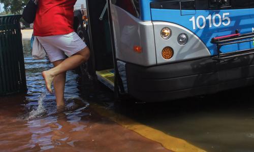
One of the nation’s oldest cities, Portsmouth built much of its housing and infrastructure on low-lying ground to allow easy access to the water. But that water has now become all too accessible. Roadways, parking lots, and stormwater management systems along the state’s short but treasured seacoast, which runs from Portsmouth south to Seabrook, flood during seasonal high tides even without storms.
This profile is excerpted from the 2014 report, Encroaching Tides: How Sea Level Rise and Tidal Flooding Threaten U.S. East and Gulf Coast Communities over the next 30 Years."
During several recent extra-high tides, for example, the narrow causeway connecting Portsmouth to the island of New Castle was nearly submerged. City officials recently offered a walking tour of the historic South End to point out areas at risk of flooding from storm surge and sea level rise, and to highlight the city’s Coastal Resilience Initiative.
Portsmouth is part of a pilot program funded by NOAA and the Gulf of Maine Council to recommend measures to protect the city from future sea level rise and storm surge. With those recommendations in hand, city officials are updating their 10-year master plan to make Portsmouth a more flood-resilient community.


