Founded where several rivers meet the sea, the port city of Boston grew by filling in marshy areas and mudflats. Today the Boston waterfront hosts some of the city’s most popular tourist destinations, from museums and restaurants to public parks and historic sites, such as Faneuil Hall and parts of the Freedom Trail.
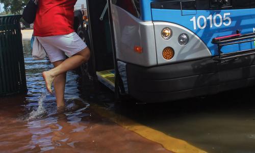
These public places are vulnerable to sea level rise and coastal flooding. In January 2014, for example, in the wake of a nor’easter, high tides in Boston Harbor exceeded those seen during Hurricane Sandy. Parking lots and public walkways in the city’s North End were heavily flooded, limiting access to popular destinations.
Encroaching Tides
Flooding also occurs here during seasonal high tides. The number of days with tidal flooding has more than quadrupled since 1970—to roughly nine events per year. And as sea level continues to rise, Boston is projected to see more than 70 tidal floods annually by 2045.
As one of the most climate-aware cities in the nation, Boston is actively working to build resilience to sea level rise. City officials are tackling risks to sewers, transit, and other infrastructure, and pursuing environmental restoration projects. Some of the city’s major property owners, including those along the popular but flood-prone Central and Long Wharves, are participating in the Green Ribbon Commission, which is working to build the resilience of waterfront buildings and support the city’s Climate Action Plan.
Related resources
Applications of Climate, Energy, and Environmental Justice
Environmental, Climate, and Energy Justice—What Do They Mean?

Science and Environmental Justice