All features
Feature
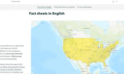
Too Hot to Work: Congressional Districts
This interactive map allows you to download district-specific fact sheets for all 433 Congressional districts in the contiguous United States.
Feature
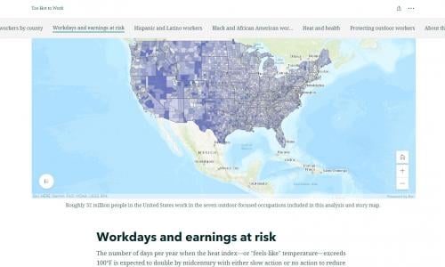
Too Hot To Work: GIS Map
This series of interactive maps presents an original analysis that quantifies the health and economic impacts of extreme heat on the outdoor workers in a changing climate.
Feature
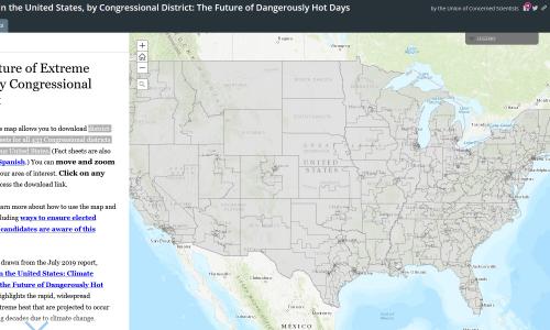
Killer Heat: Congressional Districts
District-specific fact sheets for all 433 Congressional districts in the contiguous United States.
Feature
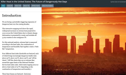
Killer Heat: GIS Map
This interactive mapping tool shows the rapid, widespread increases in extreme heat projected to occur across the United States.
Feature
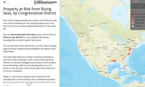
Underwater: Congressional Maps
US homes at risk of flooding, by Congressional district.
Feature
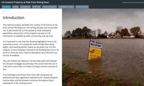
Underwater: GIS Map
Our interactive tool lets you explore US coastal properties at risk from rising seas.
Feature
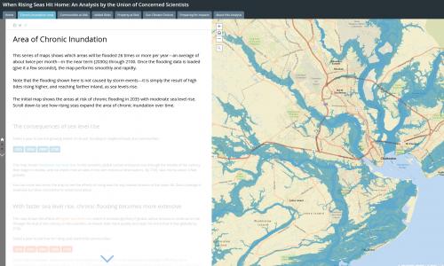
Rising Seas: GIS Map
This interactive mapping tool identifies when hundreds of US coastal communities will face chronic inundation and possible retreat as sea levels rise.