- Database (Excel format)
- Database (text format)
- Database, official names only (Excel format)
- Database, official names only (text format)
Page last updated: 1/2/24
Data current through: 5/1/23

Kyle Ann Sebastian
Assembled by experts at the Union of Concerned Scientists (UCS), the Satellite Database is a listing of the more than 7,560 operational satellites currently in orbit around Earth.
Our intent in producing the database is to create a research tool for specialists and non-specialists alike by collecting open-source information on operational satellites and presenting it in a format that can be easily manipulated for research and analysis.
It is available as both a downloadable Excel file and in a tab-delimited text format. A version is also provided in which the "Name" column contains only the official name of the satellite in the case of government and military satellites, and the most commonly used name in the case of commercial and civil satellites.
Who has satellites? Then and now
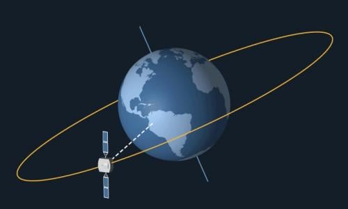
The database contains 28 types of data for each satellite, including technical information about each satellite (mass, power, launch date, expected lifetime) and its orbit (apogee, perigee, inclination, and period), as well as information on what the satellite is used for, and who owns, operates, and built the satellite.
Sign-up for Satellite Updates
Satellite quick facts
Includes launches through 5/1/2023
-
Total number of operating satellites: 7,560
- United States: 5,184
- Russia: 181
- China: 628
- Other: 1,572
- LEO: 6,768
- MEO: 143
- Elliptical: 59
- GEO: 590
-
Total number of US satellites: 5,184
- Civil: 30
- Commercial: 4,741
- Government: 167
- Military: 246
Users can answer questions such as:
- How many satellites does a given country have in orbit, and what are they used for?
- How many satellites are used for military purposes versus commercial purposes?
- Which countries have earth-observing satellites?
- When was the oldest working satellite launched?
- At what altitudes do most satellites orbit?
- What activities are most satellites involved with?
We welcome corrections, additions, and suggestions. These can be emailed to the database manager at [email protected]
Already a database user? We'd love to hear your thoughts.
Resources:
Related resources

2024 Annual Report

A Path Forward

An Activist's Guide to Radiation and Human Health